
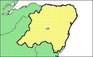
There are 121 postcode areas, such as 'AB', in Great Britain each containing on average 200,000 households.
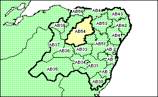
There are around 2,500 postcode districts, such as 'AB54', in Great Britain each containing on average 10,000 households.
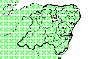
There are around 9,000 postcode sectors, such as 'AB54 6', in Great Britain each containing on average 2,000 households. Postcode sectors are the smallest units, in terms of both geographic extent and the household count, that can be used to define a Locale catchment.
Once the catchment has been defined the system produces a Locale report, detailing usually resident population, age and sex breaks, ethnicity and other demographic information from the 1991 Census. A Super Profiles geodemographic report can also be created, detailing the number of households falling within each of the Lifestyle and Target Market categories of the Super Profiles discriminator.
Counts for the catchment can be indexed against base counts for the whole of the United Kingdom, constituent nations (England, Wales, Scotland and Northern Ireland), other administrative units such as Government Standard Regions or - if the catchment is stored on our server - against each other.
If a higher degree of spatial resolution is required, Business Geographics can produce Locale Reports based on catchments defined in terms of Enumeration Districts (small areas containing around 150 households). Other boundary sets that can be used to define a Locale catchment include:
If you need to define a catchment in terms of any of these geographies send mail to:
info@geoweb.co.uk
The Locale team will respond with detailed instructions on how to proceed.
The Locale system is © Copyright Business Geographics Limited. All rights reserved, 1995.