CenSys95 is designed to aggregate data stored at any geographic level - such as Census enumeration districts, postcode sectors or postcode areas - to a catchment defined in terms of those units or their derivatives.
If 1991 Census data is stored at postcode sector level, catchments may be defined in terms of sectors, districts and areas. If the data is held at enumeration district level catchments may be defined in terms of EDs, wards, local authorities, counties and government standard regions.
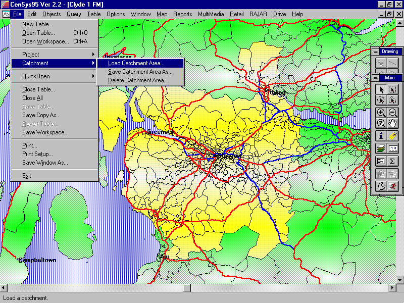
Using the facilities available within the Geographic Information System (GIS) it is possible to define an arbitrary catchment that does not consist solely of the basic data units, perhaps by digitising a sales territory on-screen against a raster backdrop, identifying the sectors or EDs that fall within it and saving that selection as a catchment.
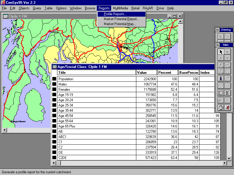
Once saved, demographic reports can be generated showing counts from the 1991 Census or the geodemographic profile of the neighbourhood as described by discriminators such as Super Profiles. GIS functionality enables the production of thematic maps illustrating the areal distribution of particular counts, eg 'percent households with three more cars' or 'percent population aged 55-64'.